ONLINE BOOKING
deco
article thumbnail

Paklenica National Park

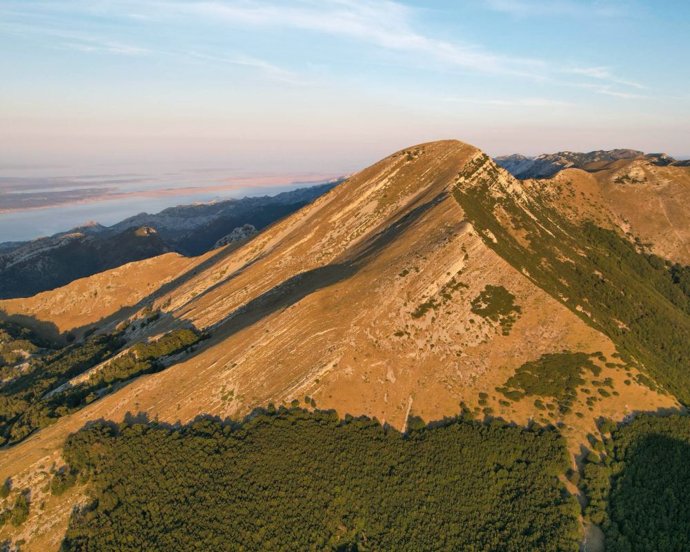
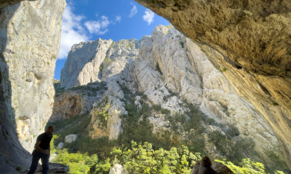
Paklenica National Park, established in 1949, covers 95 km² of wilderness on the southern Velebit mountain range. Discover highlights such as Vaganski peak (1,757 m/asl) and Sveto brdo (1,753 m/asl). This UNESCO gem offers incredible canyons, indigenous black pine forests, and diverse wildlife. The name "Paklenica" derives from local "paklina," resin from black pine used in folk medicine and daily life. Experience natural treasures and adventure in the heart of Velebit!

article thumbnail

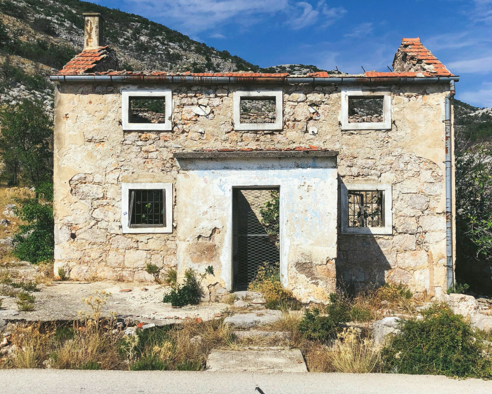
The childhood home of Luka Modrić

Nearby stands the childhood home of Luka Modrić, which was destroyed in the war's turmoil, leaving a mark on his life story. Luka Modrić is a world-renowned footballer, captain of the Croatian national team, and player for Real Madrid, whose journey from humble beginnings to the top of the football world is an inspiring tale of success and perseverance.

article thumbnail

Cerovac Cave

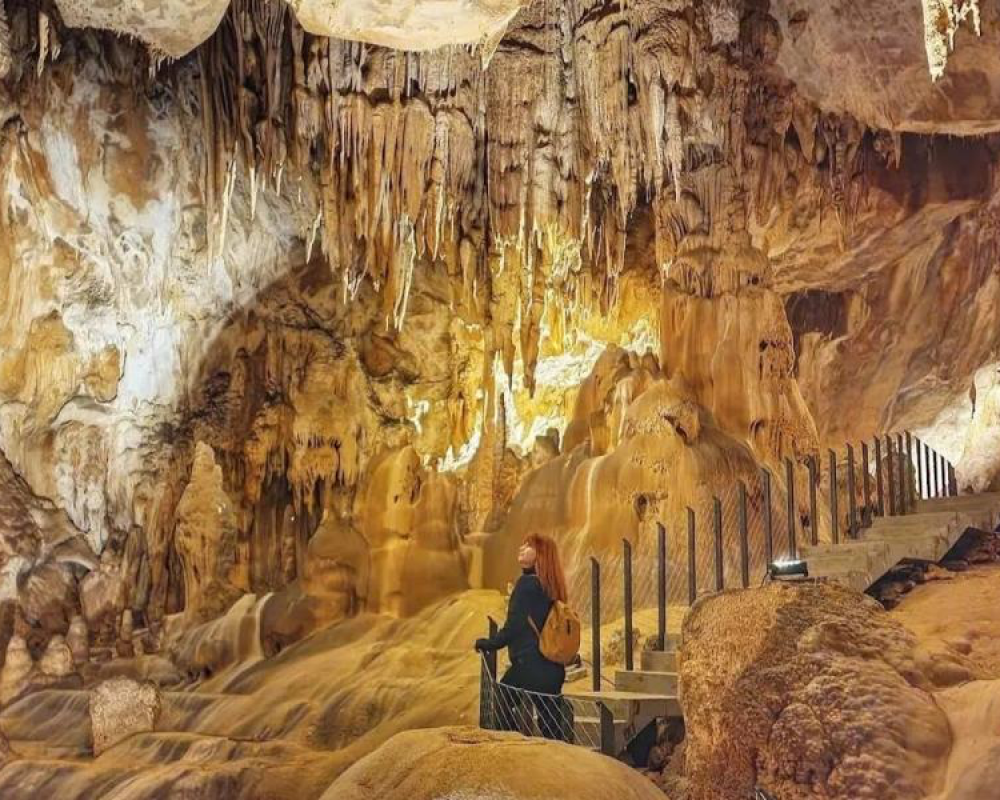
Explore the wonders of the Cerovac Caves, nestled on the slopes of Crnopac, above the picturesque Gračac Field. The Upper Cerovac Cave, with its explored channels spanning 4,035 meters, offers an unforgettable underground experience at a depth of 192 meters. Journeying through its 725-meter tourist path reveals mysterious formations and the richness of natural heritage. The Lower Cerovac Cave, with 4,058 meters of explored channels, delights visitors with its mystical beauty, from impressive stalactites to rare speleothems. Experience the enchantment of the underground world in the Cerovac Caves!

article thumbnail

Zrmanja Canyon

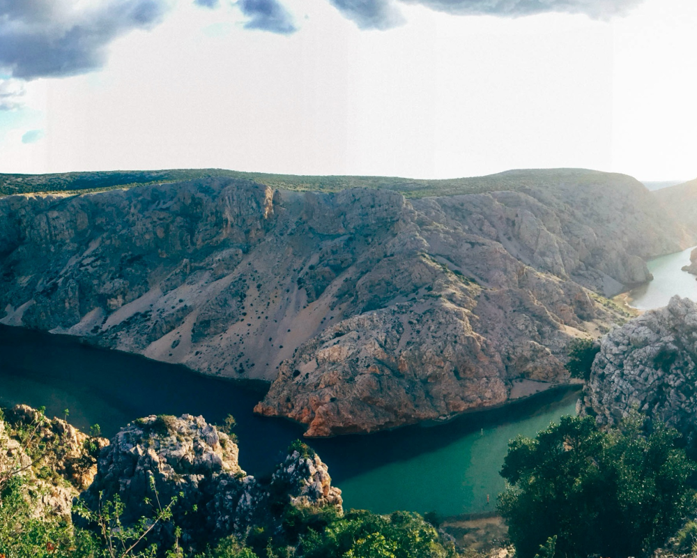
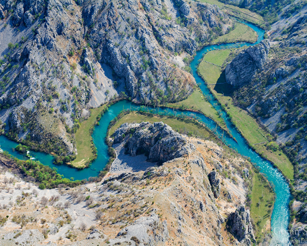
Explore the spectacular Zrmanja Canyon near Maslenica. A short 9 km drive east leads to the Pariževačka glavica viewpoint, offering breathtaking views of one of Croatia's most impressive canyons. For a complete experience, try kayaking or rafting down the river all the way to the Karinski Sea.

article thumbnail

Tulove grede

Explore the majestic Tulove Grede, rising above the southern entrance of the Sveti Rok tunnel. The allure of these rock formations has long fascinated adventurers, now accessible after mine clearing. Start your journey on the legendary Majstorska Road, a masterpiece of engineering from the Austro-Hungarian era, offering stunning vistas and cultural heritage. The ascent, though challenging, rewards with breathtaking views of the Adriatic and Velebit. Dive into the myths surrounding Tulove Grede, where legends of mythical beings intertwine with tales of bravery and adventure.

article thumbnail

Kude’s 13 arch bridge

Kude, a young man, built a mill at the foot of Deveterac. One day, he saw a beautiful girl named Manda across the river. To reach her, he built a magnificent bridge consisting of 13 arches. Renovated in 2016, Kude's Bridge tells a story of love and perseverance. Spanning the Krupa River, it connects hamlets and signifies not only practical but also cultural significance. Surrounded by the spectacular landscape of the Krupa canyon, the bridge is breathtaking, revealing the beauty of nature along the river and shores.

article thumbnail

Krupa Monastery

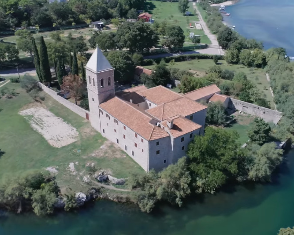
Krupa Monastery, dedicated to the Assumption of the Virgin Mary, flourished during the 18th century. Today, nestled in natural surroundings, its recent reconstruction of the old stone bridge enriches its idyllic setting. The view from the road towards Prezid Pass reveals the deep abyss of Krnjeza Canyon, a tributary of the Krupa River. Krnjeza River's canyon, almost a kilometer long and nearly three hundred meters deep, testifies to the power of water emerging as a blue pool hidden in a cave.

article thumbnail

Kurjaković fortress

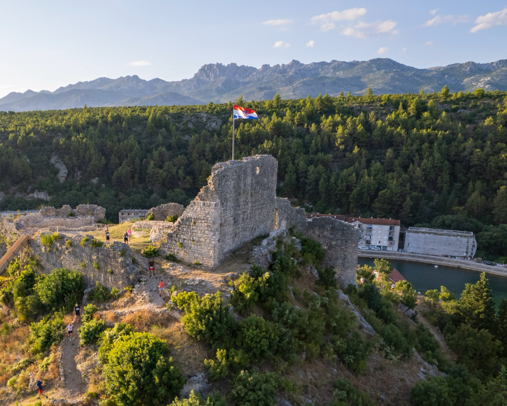
Obrovac, strategically located, was a major trading hub connecting northern Dalmatia and the Adriatic with the Croatian hinterland. Ruled by the Krbava princes, later known as the Kurjakovićs, it flourished as a trade center in the 14th century. The medieval fortress, once changing hands between empires like the Ottoman and the Venetian, stands atop the hill, a testament to its rich history.

article thumbnail

The Monastery of St. Mary Immaculate

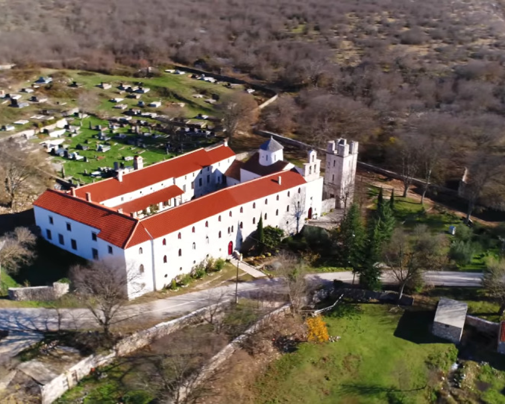
The stone cross embedded in the wall of the monastery corridor dates back to the time of Croatian national rulers and the Karin Lapčani. In the 15th century, Franciscans settled in this area. Despite Turkish rule, the Franciscans continued to shepherd the surrounding countryside. They promoted devotion to Mary and Saint Paschal, the patron saint of livestock. In the monastery, schools operated in the past, and there exists a small but valuable library. The small monastery cemetery is a place where monks gather to remember those who found themselves in the solitude of Karin.

article thumbnail

Ancient village of Zelengrad

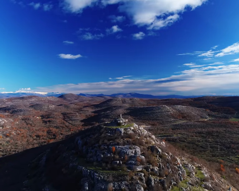
Ancient village of Zelengrad, atop a hill (552 meters above sea level), lie the modest remains of a once-mighty medieval fortress. During the 16th century, the fortress belonged to the Kurjaković nobility. Externally, the fortress is hexagonal, while internally, it is oval-shaped with thick walls. The entrance to the fortress was located on the southern side. Adjacent to the entrance on the western side are the remnants of a larger rectangular water cistern. In 1523, the fortress was captured by the Ottoman army and remained under their control until 1684 when it was seized by the Venetians.

article thumbnail

River Bjela

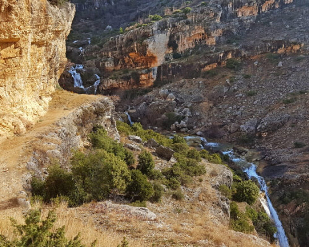
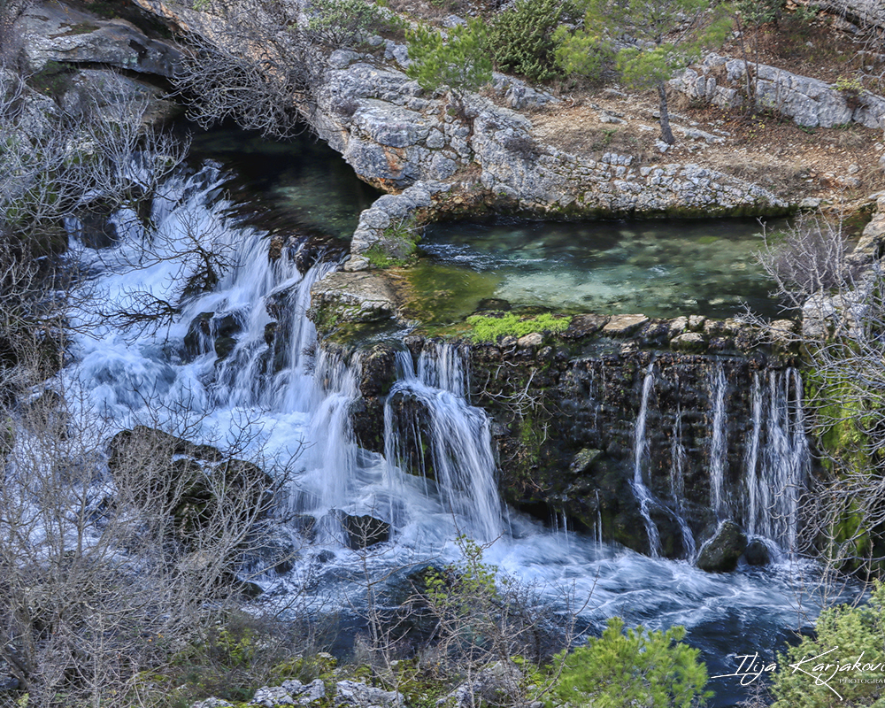
The river Bjela is a hydrogeological phenomenon, emerging from a cave at around 300 meters above sea level. The canyon of the river takes on a white color from dissolved limestone, likely giving it its name. Formed along the fault line of two hills of layered limestone, the canyon features several large waterfalls (the highest around 15-20 meters) that create natural pools of transparent greenish water at their base. The source of the Bijela river is an accessible cave rich in living organisms (grasshoppers, spiders, bats...) extending 225 meters, where significant quantities of drinking water, purified by passing through the capillary system of the rocks, have accumulated over time in several interconnected chambers.

article thumbnail

Karišnica river

The Karišnica river springs from the eponymous cave, which is about 120 meters long, 4-7 meters wide, and 2-3 meters high. After only 2,400 meters of flow, the Karišnica river flows into the Karin Sea, where various habitats characterized by specific species rapidly alternate, ensuring great biodiversity for such a small area. Karišnica is characterized by its intermittent flow, drying up in summer but coming to life again during the rainy season. The river's mouth into the Karin Sea offers a view of the dramatic beauty of Velebit and the mouth of the Zrmanja river into the Novigrad Sea.

article thumbnail

Krupa River

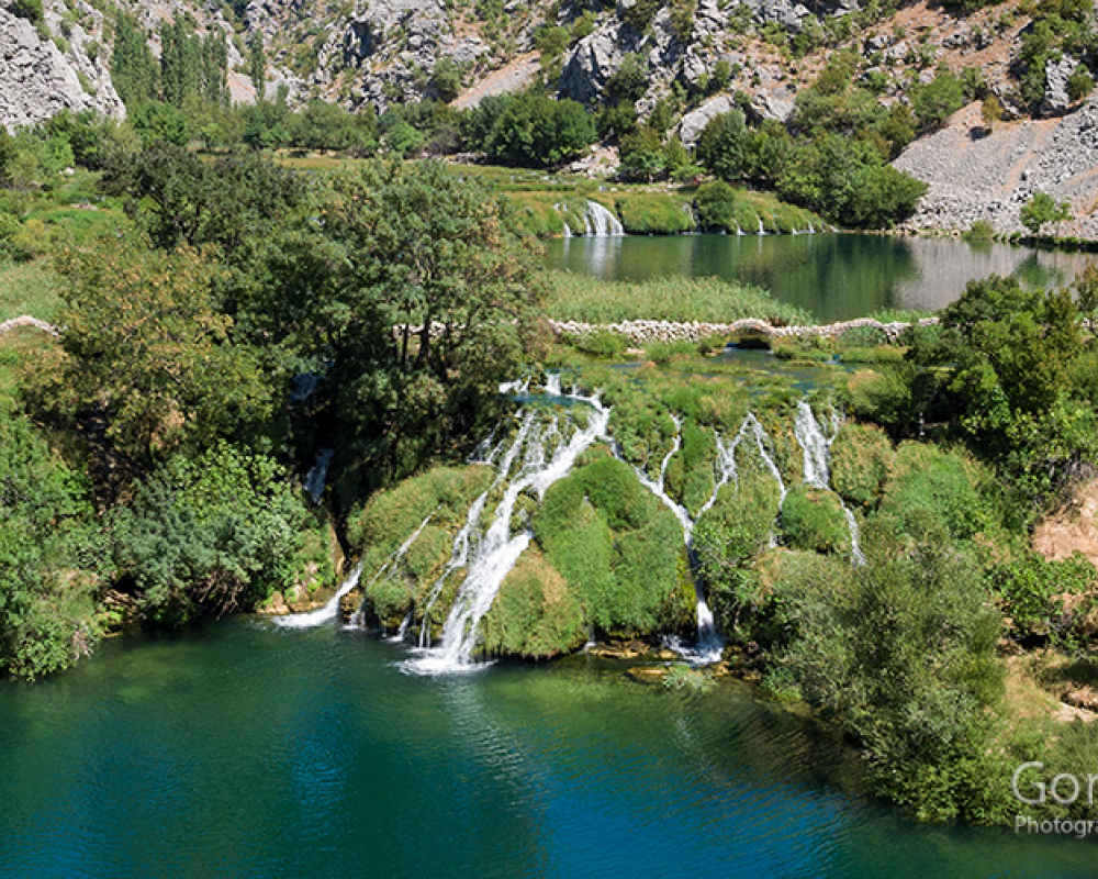
The Krupa River, hidden beneath the southern slopes of Velebit, has always been a little-known gem of the Dalmatian hinterland. Its source is bathed in calm and clear water, accessible to the local population who enjoy its freshness. Its flow through the canyon is full of natural wonders, such as impressive waterfalls and miraculous travertine formations. The greenery around it provides a refuge for many animal species, while the meadows along the banks intertwine with the water, creating a picture of peace and beauty. Despite its modest length, the Krupa River impresses with its diversity and enchanting beauty, leaving visitors breathless.

article thumbnail

Lower Bridge

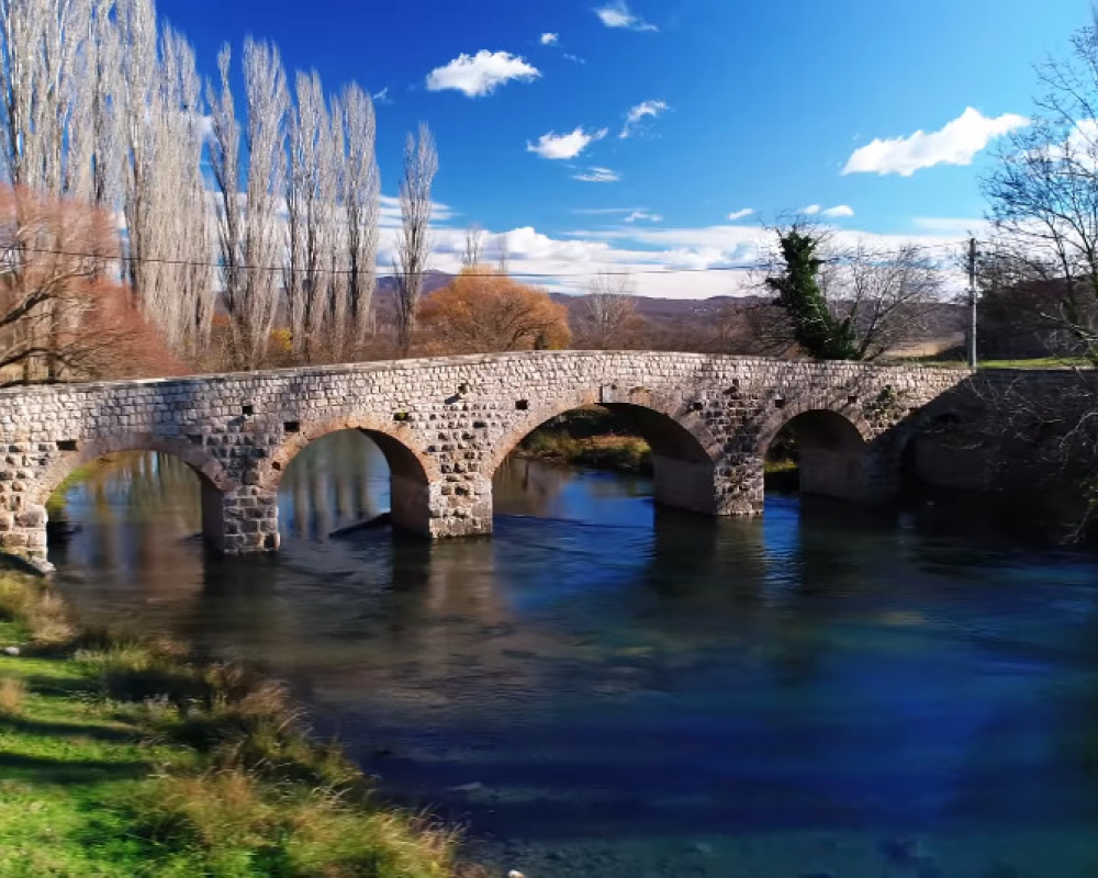
Lower Bridge. The bridge spans the Zrmanja River on the road from Žegar to Krupa. It is constructed of hewn stone in the form of cubes. It has five semi-circular arches, with the central one being the largest. The arches rest on four stone pillars which end in triangular-sectioned beaks on the upstream side. The bridge railing is in the form of a massive wall. The level of the bridge slightly increases towards the middle. The bridge is mentioned in archival records from the 18th/19th century, and in 1885, under Austro-Hungarian rule, it acquired its present appearance.

article thumbnail

Sveto Brdo Hike

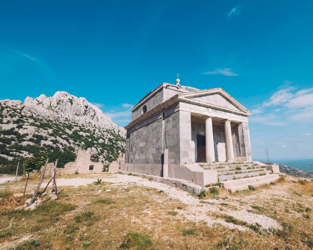
At an elevation of 1751 meters, the magnificent pyramid of Sveto Brdo (also known as Šuplja planina) ranks second on the list of highest peaks of Velebit, just behind Vaganski vrh (1757 m). This iconic peak dominates the landscape, visible from several hundred kilometers away. Access to Sveto Brdo is via various routes, with the easiest being through Velika Paklenica. The routes offer diverse landscapes, and the view from the summit provides spectacular vistas all the way to the sea and hundreds of islands. Its name derives from the belief that divine and evil forces clash at its peak during storms. At the summit stands a wooden cross and a box with a visitor logbook, while the mountaineering stamp is embedded in the rock next to the box. Visiting Sveto Brdo offers a unique hiking experience in the heart of Velebit.

deco